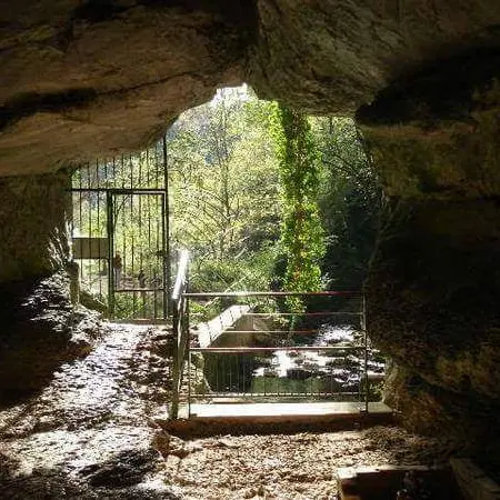
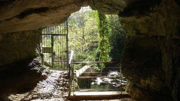
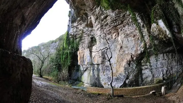
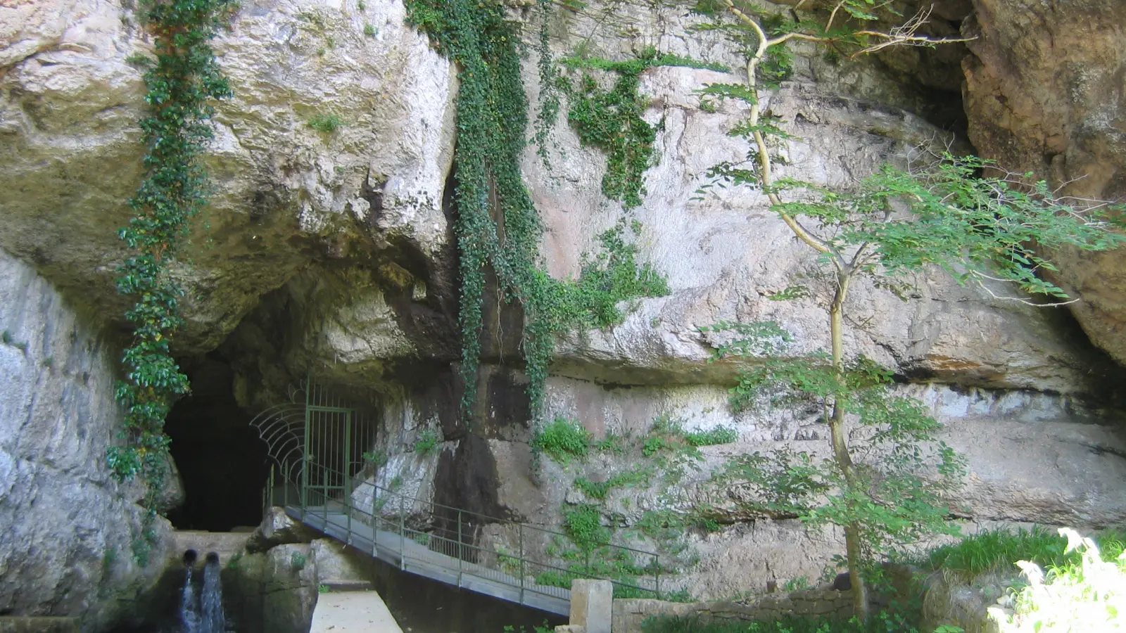
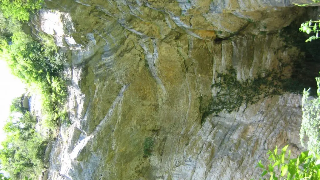
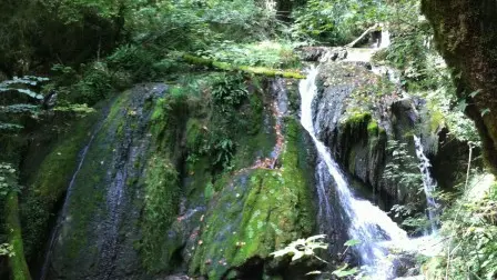
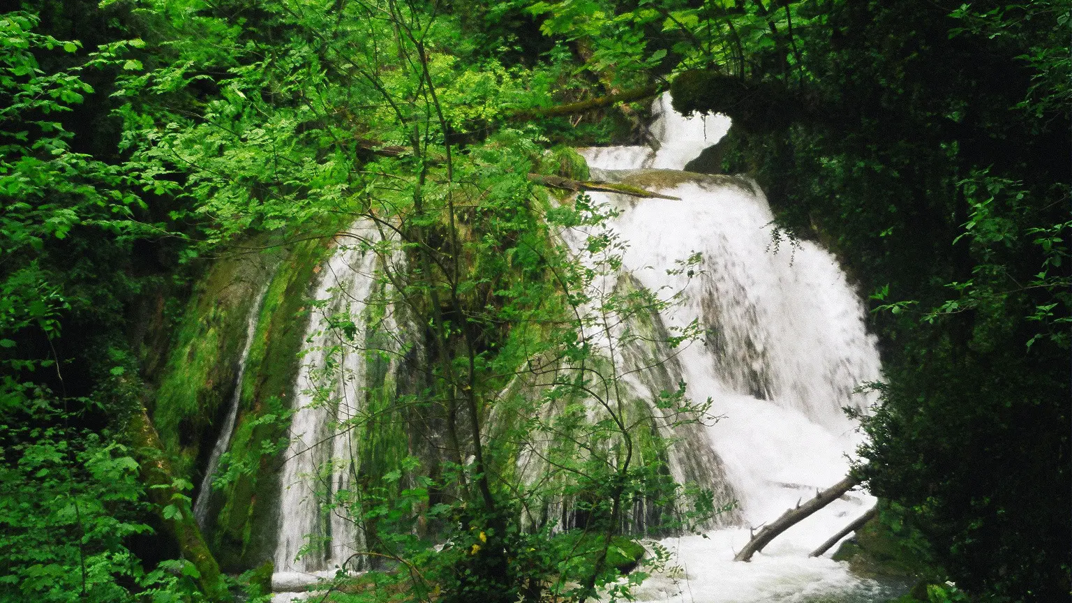
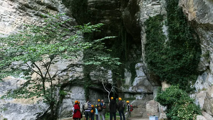
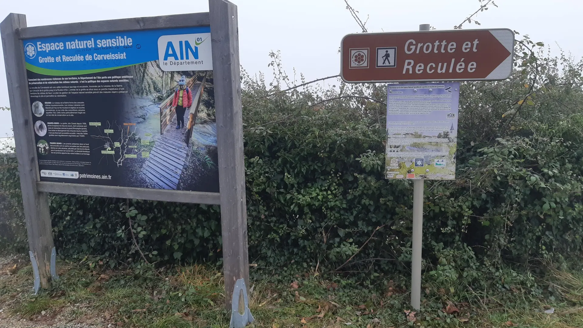
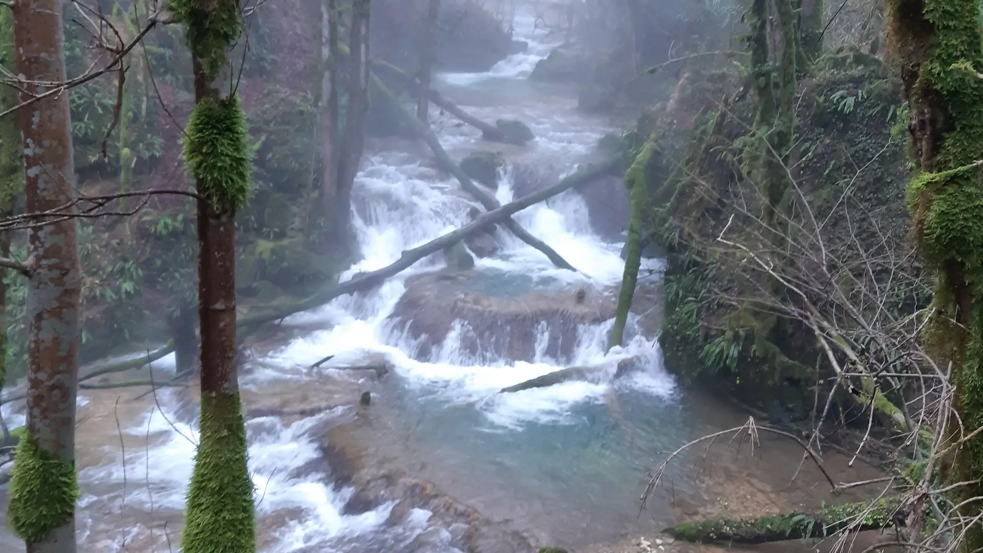
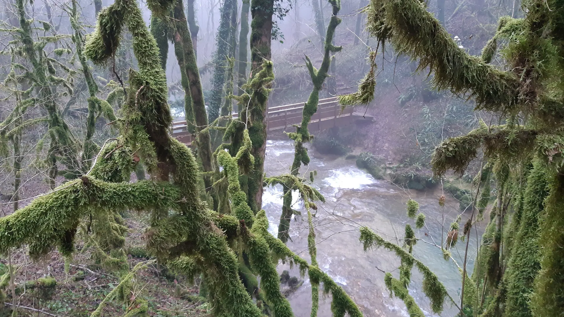
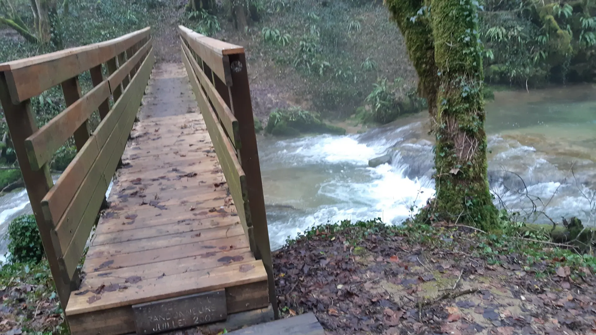
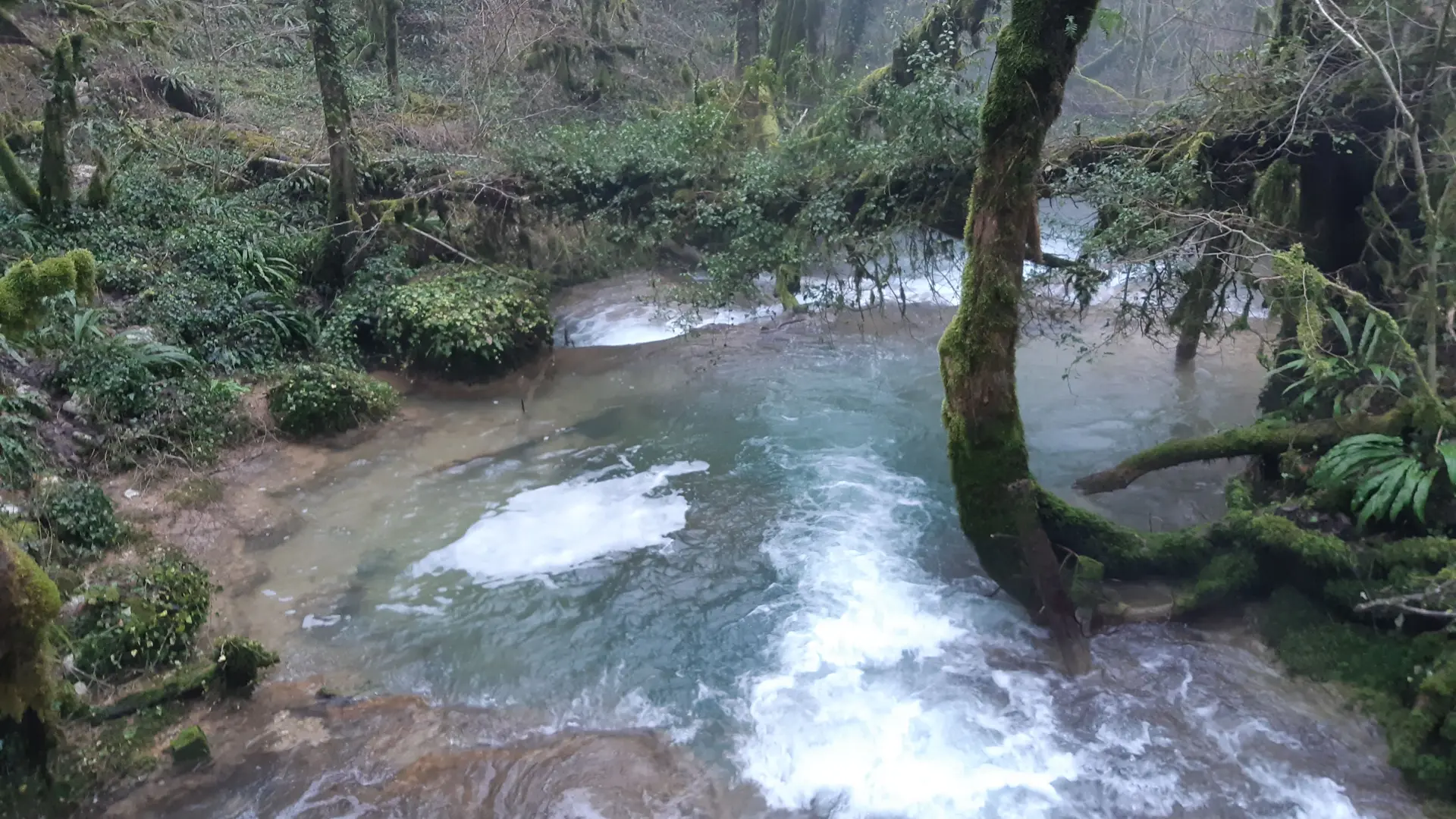
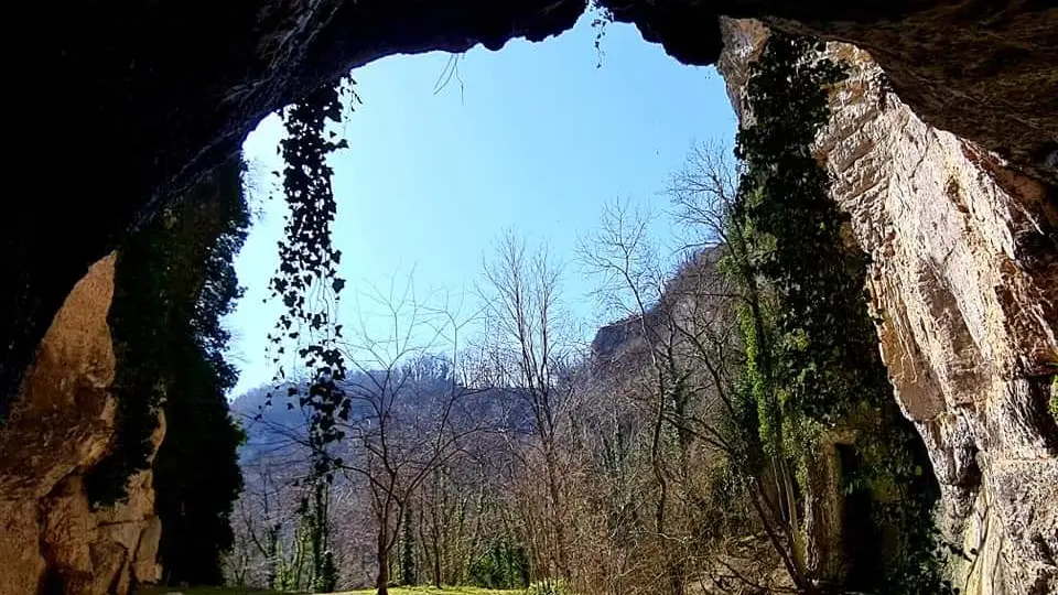
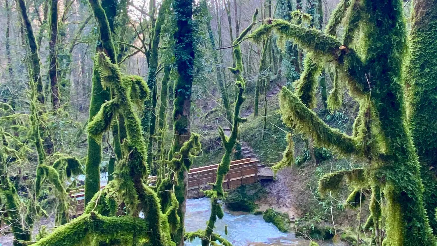
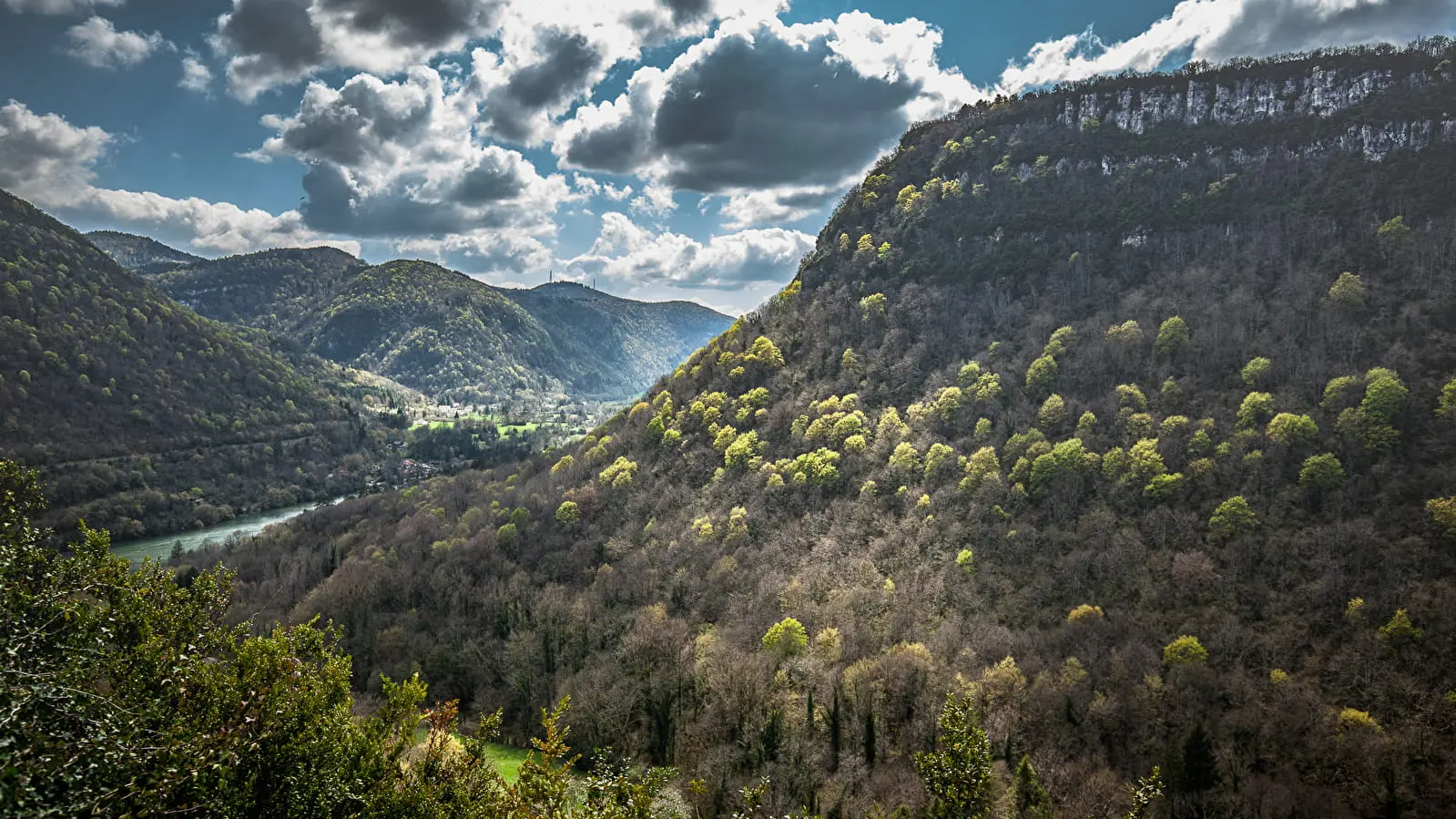
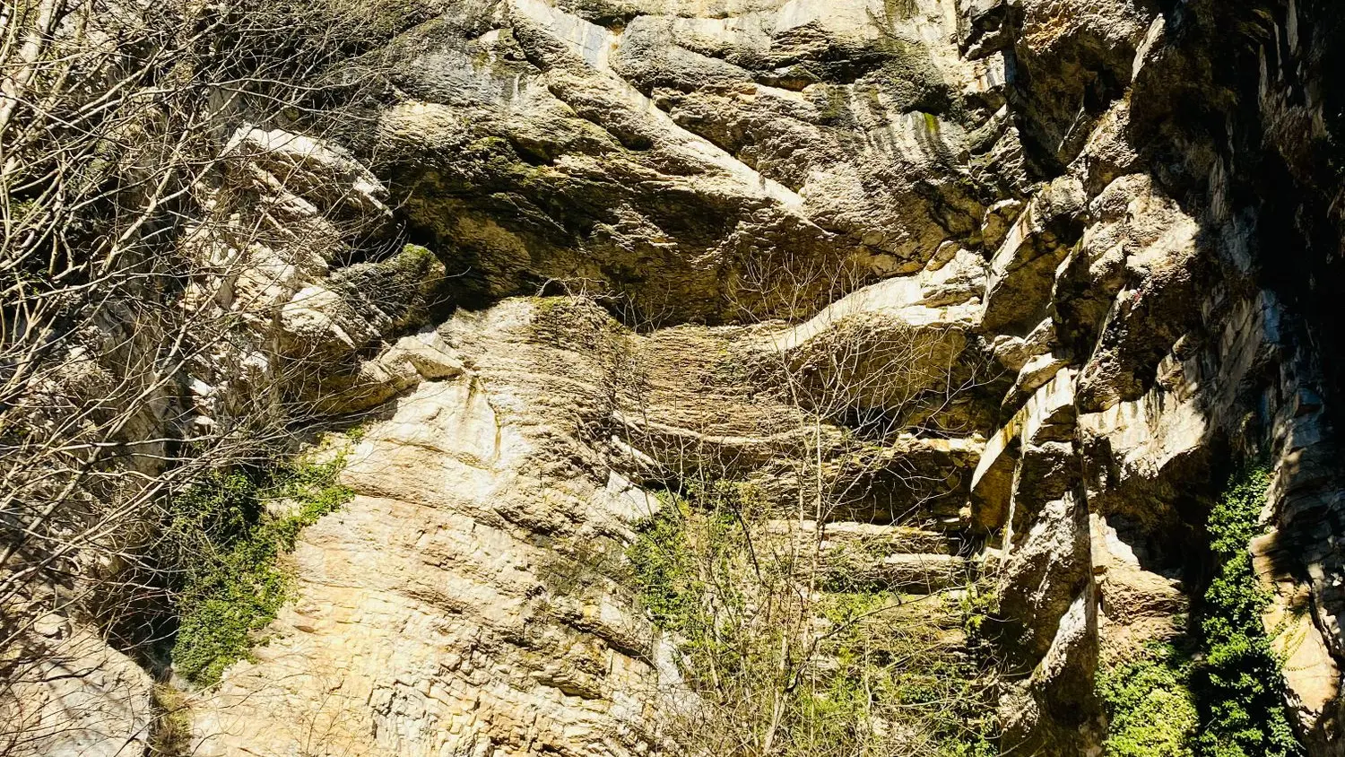
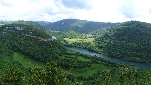
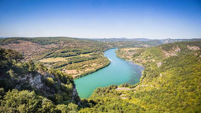
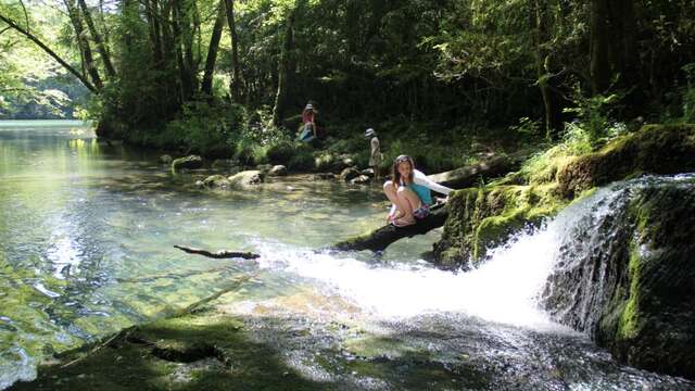
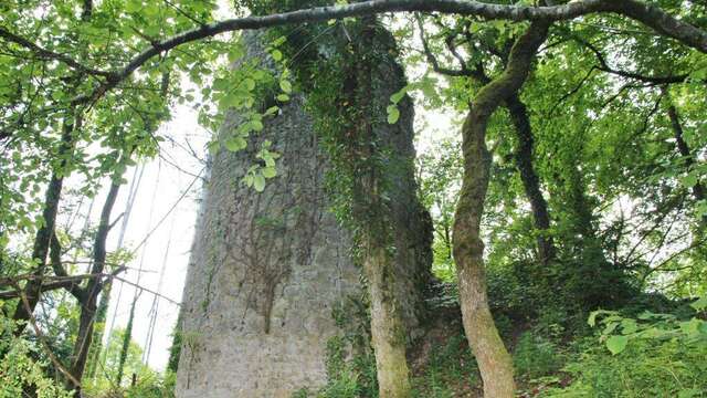
Emblematic of the Jura mountains, the reculées are worlds apart. Setting off along this path and coming face to face with this imposing porch is always spectacular, or following this torrent down to the Rivière d'Ain amidst the moss remains magical.
Site classified as a landscape
Espace Naturel Sensible de l'Ain - ENS
Distance: 6 km
Time: 1h30 - Difference in altitude: 200 m - Marking: Yellow
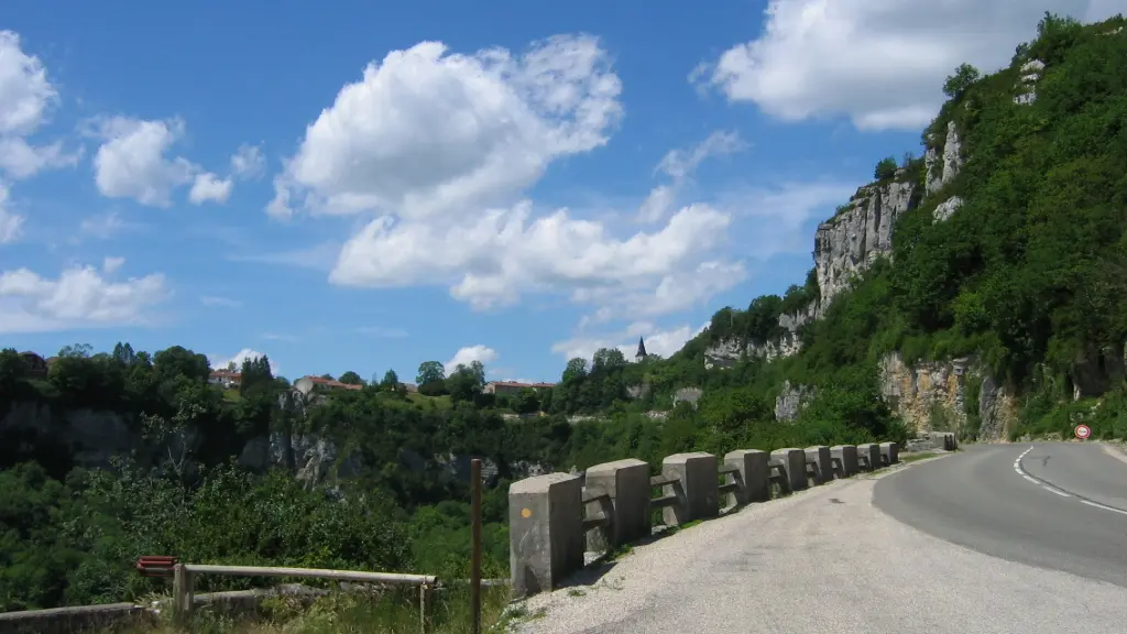
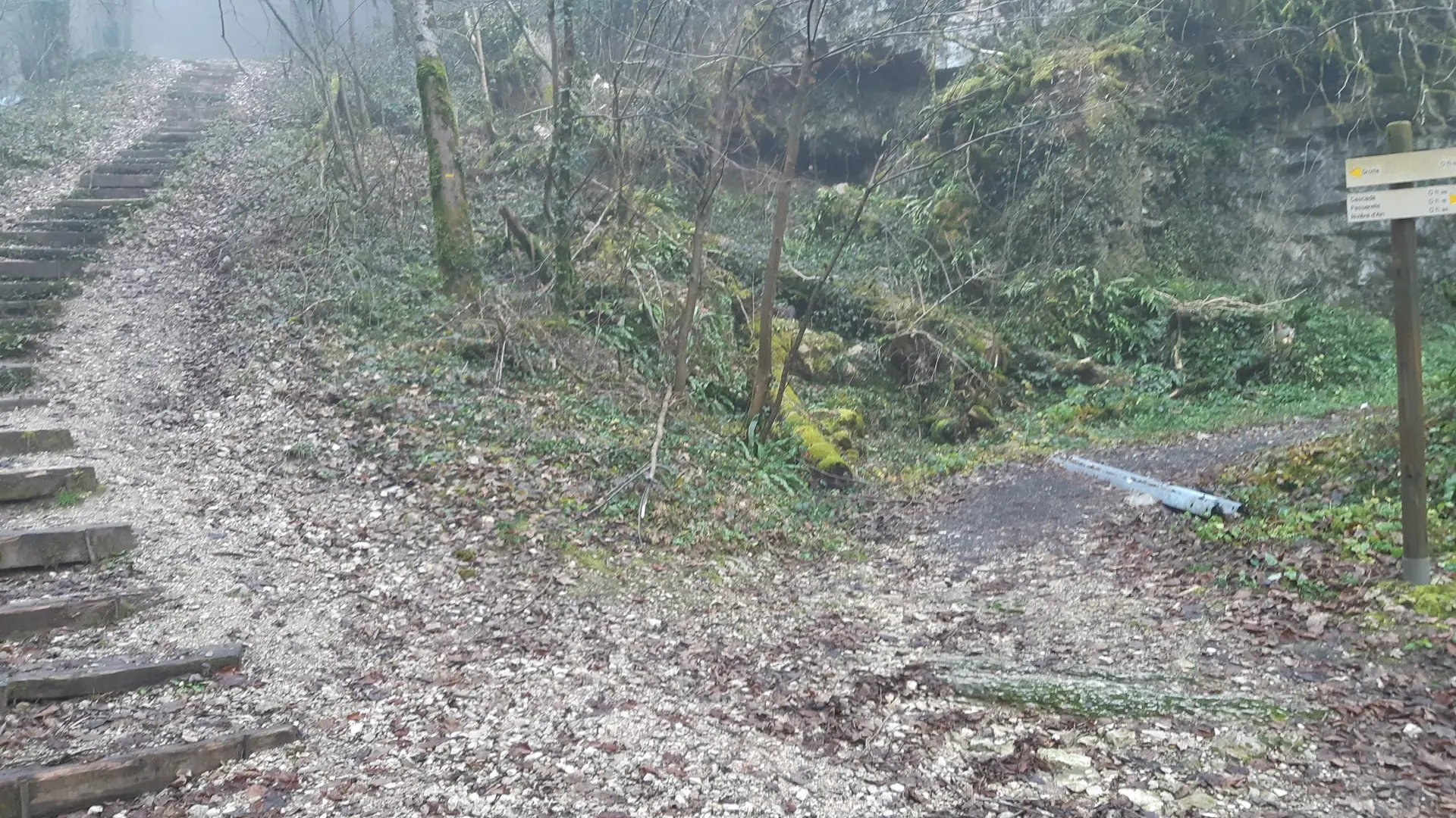
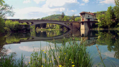
Route: Go downhill. At the bottom, right for the cave porch. Leave the site by stairs. Descend to the footbridge (waterfalls and cliffs), cross it and join the ain (0h20). After the climb, turn left to the crossroads, then right to return.
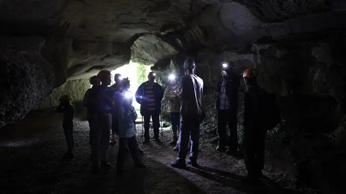
Grotto :
The cave can be visited by appointment for groups, or on Wednesdays in summer during guided tours organized by the managing association (Agek).
Alternative departure point: from the boat launch parking lot on the banks of the River Ain.