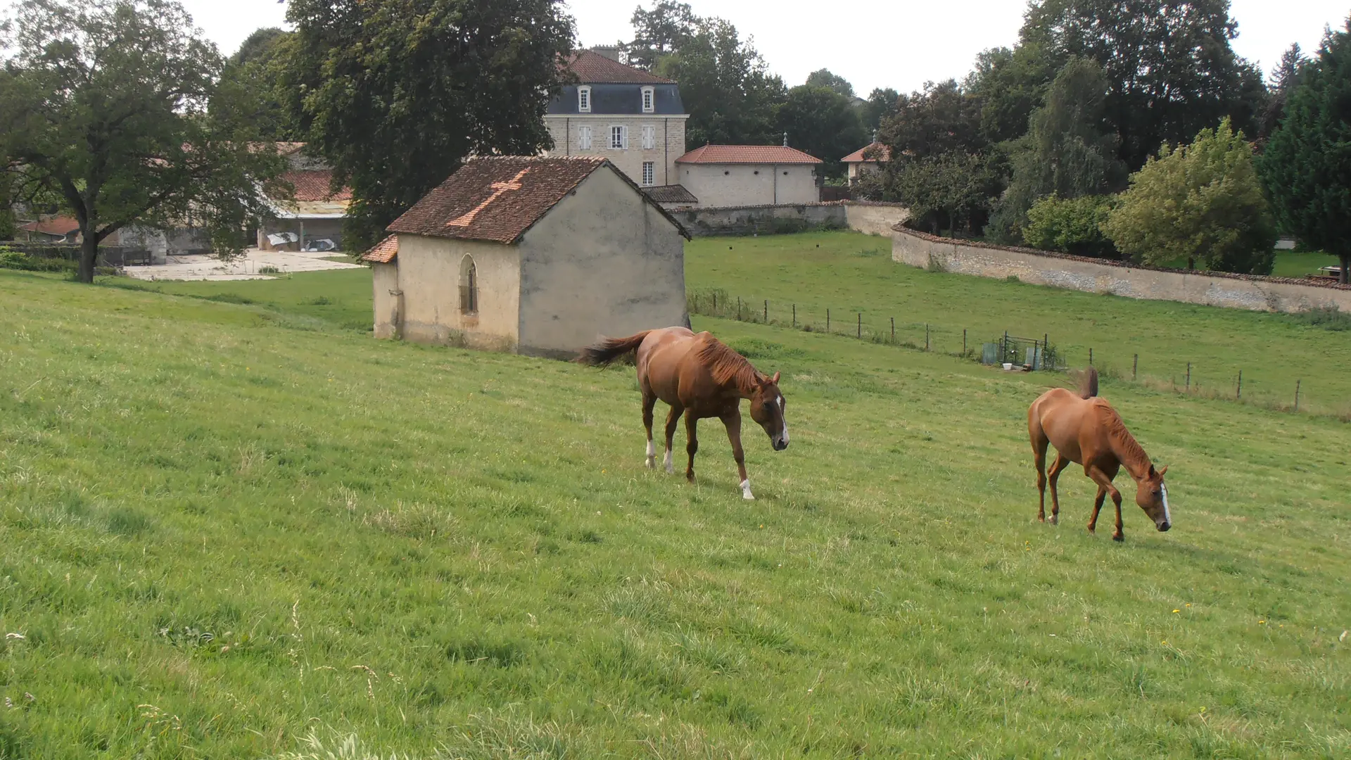
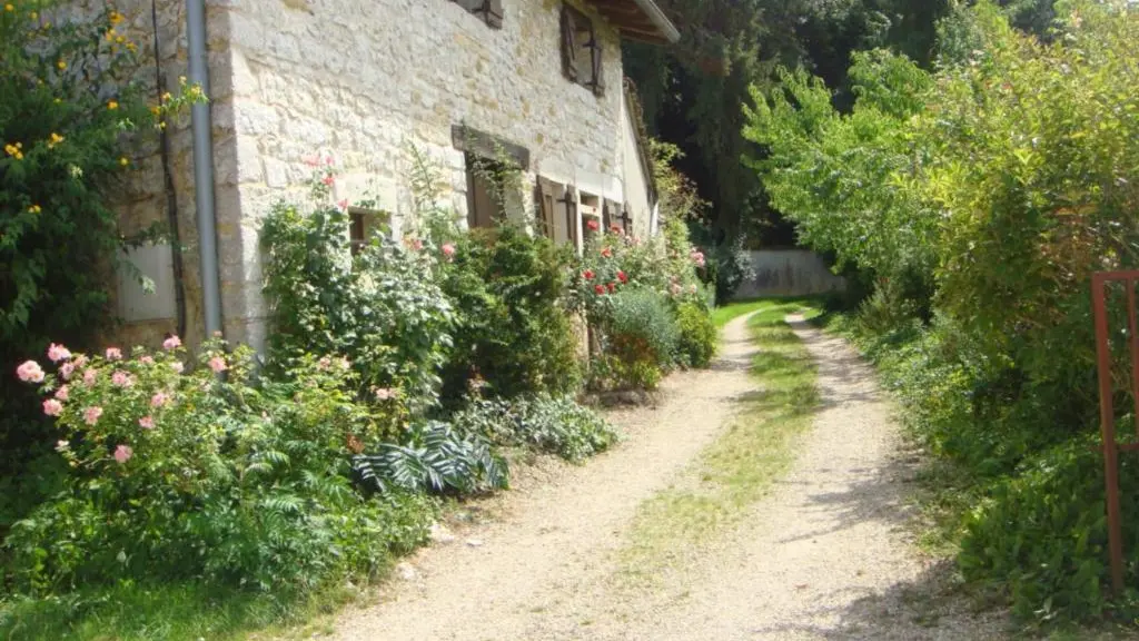
From the typical village of Meillonnas, at the foot of the Revermont, follow the paths of the former domain of the lords of Meillonnas, Sanciat.
Walking tour n°16 : Distance : 7 km - Time : 2h00 - Difference in altitude 100
Marking : Yellow
Start : Meillonnas (chemin de Beauregard - behind the church)
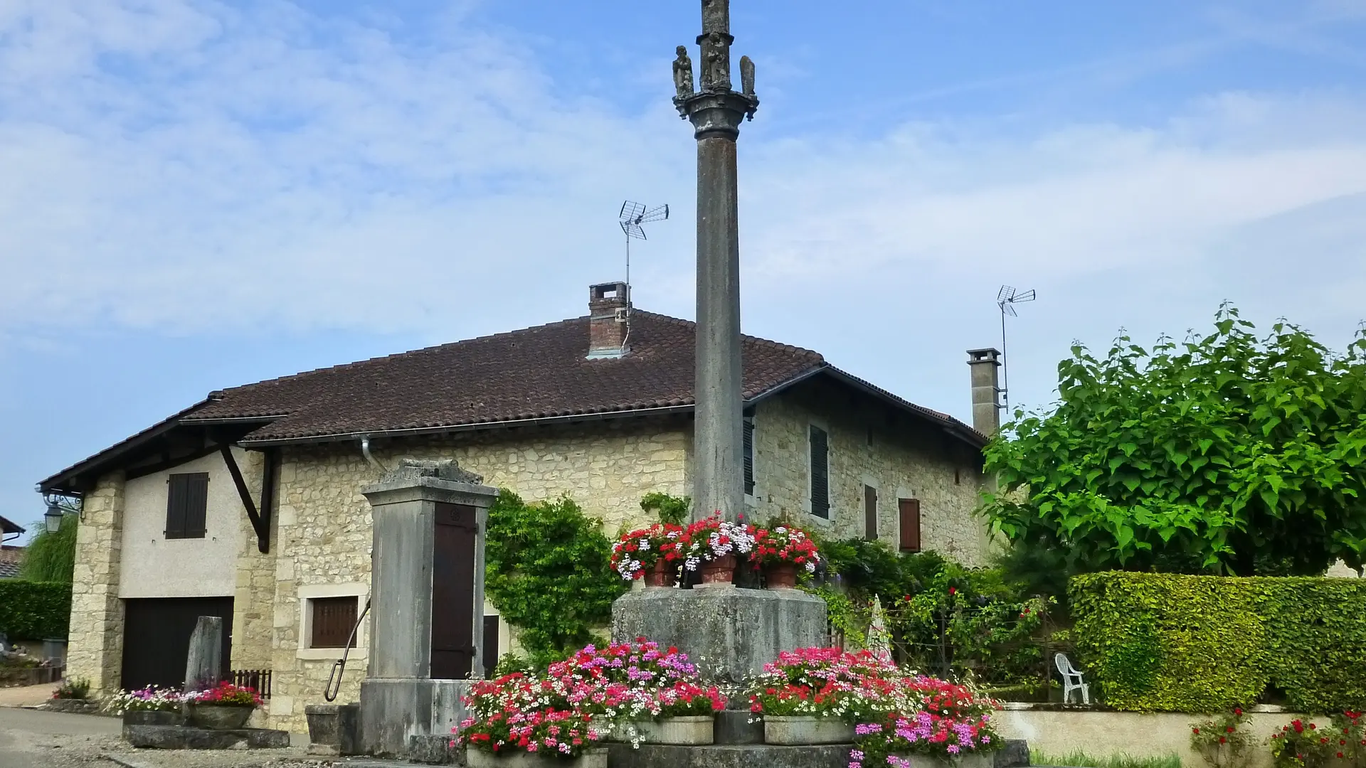
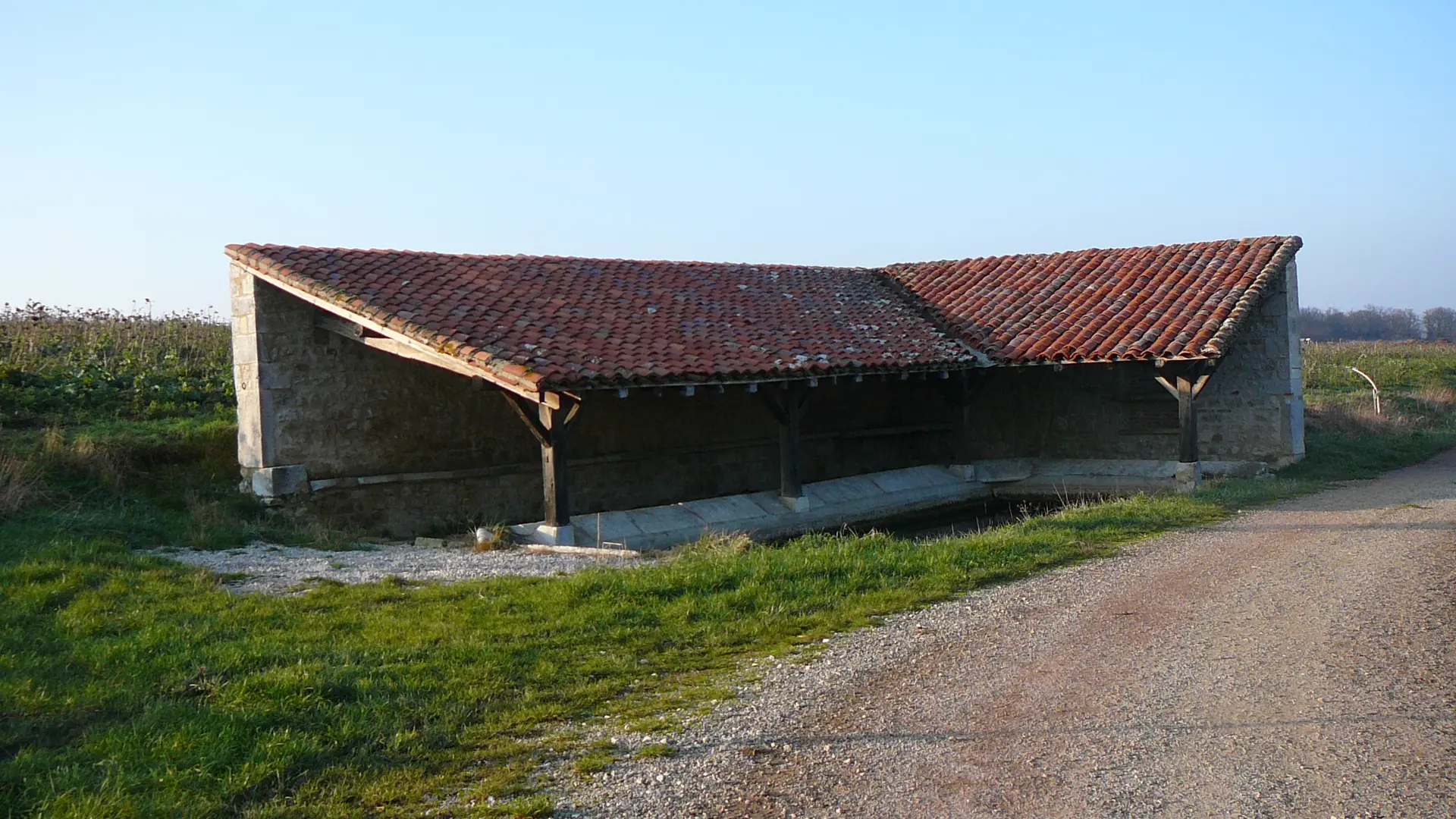
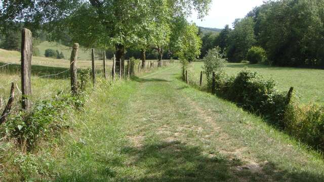
Turn right on the Chemin des Thibaudes until the crossroads with the Col de France road. Turn left for 100m, then right on a path passing overhang. Shortly after, go down to the right. After the picnic area, go straight on the mountain of Sanciat. On the way down, the path joins a farm road: take it to the right until you reach the D52. Turn right for 100m and then left on a gravel path to Sanciat. Turn right to the square (calvary). Turn left at the entrance of the square. At the end of the hamlet, turn right "Chemin de la Verne" and join Meillonnas.